GERMANY
Where is Wheringdorf?

One of the first questions that a person might ask about the home of his/her ancestors is “Where is it?”
The exact location
Latitude 52.2167 Longitude 8.4333 Altitude (feet) 255
Wehringdorf political designation
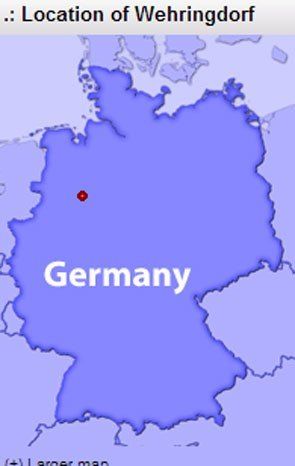
Wehringdorf Lower Saxony Deutschland [Germany] At the time when the Aschermann brothers traveled, Wehringdorf was located in the Kingdom of Hanover. (figure 3)
If one is living today in Wehringdorf, where would the consumer go to purchase small good or visit a hospital?
The hierarchy of village to large city
Wehingdorf
Buer - North 3.41km 2.1 mile
Melle - South 7.3 km 4.5 mile, Population = 46,417
Osnabruck - West, Population = 162,403
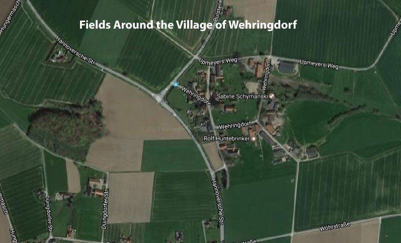
The current village of Wehringdorf is approximately 1/3 of a mile from one point to the other. Population of Buer Parish lists the village as having a population of 298 in 1821 and a population of 238 in 1969.
What does Wehringdorf mean?
Language translator associated with the Google Search engine lists
Wehringdorf as "plain ring village." An interesting name for a German village.
Wolfgang Dreuse better explains the origin of the village name:
"You may wonder where the name come from. It is believed that a man called WIRO settled here in ancient times. Wiro was a common West Saxon name (people only had one name in those days).
His clan was called after him : "Wiringe". The old Saxon name for village is "thorpe" (you can still find ...thorpes in Anglosaxony = England).
So Wiringthorpe is the village if the Wiring clan. Also spelled Weringtorpe, today Wehringdorf."
As points of reference, let’s use the world map that shows the general location of Wehringdorf and Cincinnati, Ohio. A person traveling today will probably travel via an airplane from Cincinnati to Osnabruck-Munster, Germany or from Cincinnati to Amsterdam. Amsterdam is a relatively short and inexpensive ride to Osnaburck. As the crow flies, the Aschermann emigrants traveled 4244 miles/6827 km. (figure 2)
Buer
Buer is the location of the church that the Aschermann’s attended. Buer is the village from which many sons and daughters emigrated from when they went to the Western Hemisphere, e.g. Cincinnati, Ohio. The Buer webpages are a wealth of information about the region. Considering that it is a mere two miles from Wehringdorf, it is safe to assume that many of the pictures or information given about Buer can be generalized to Wehringdorf. (figure 4) (figure 6)
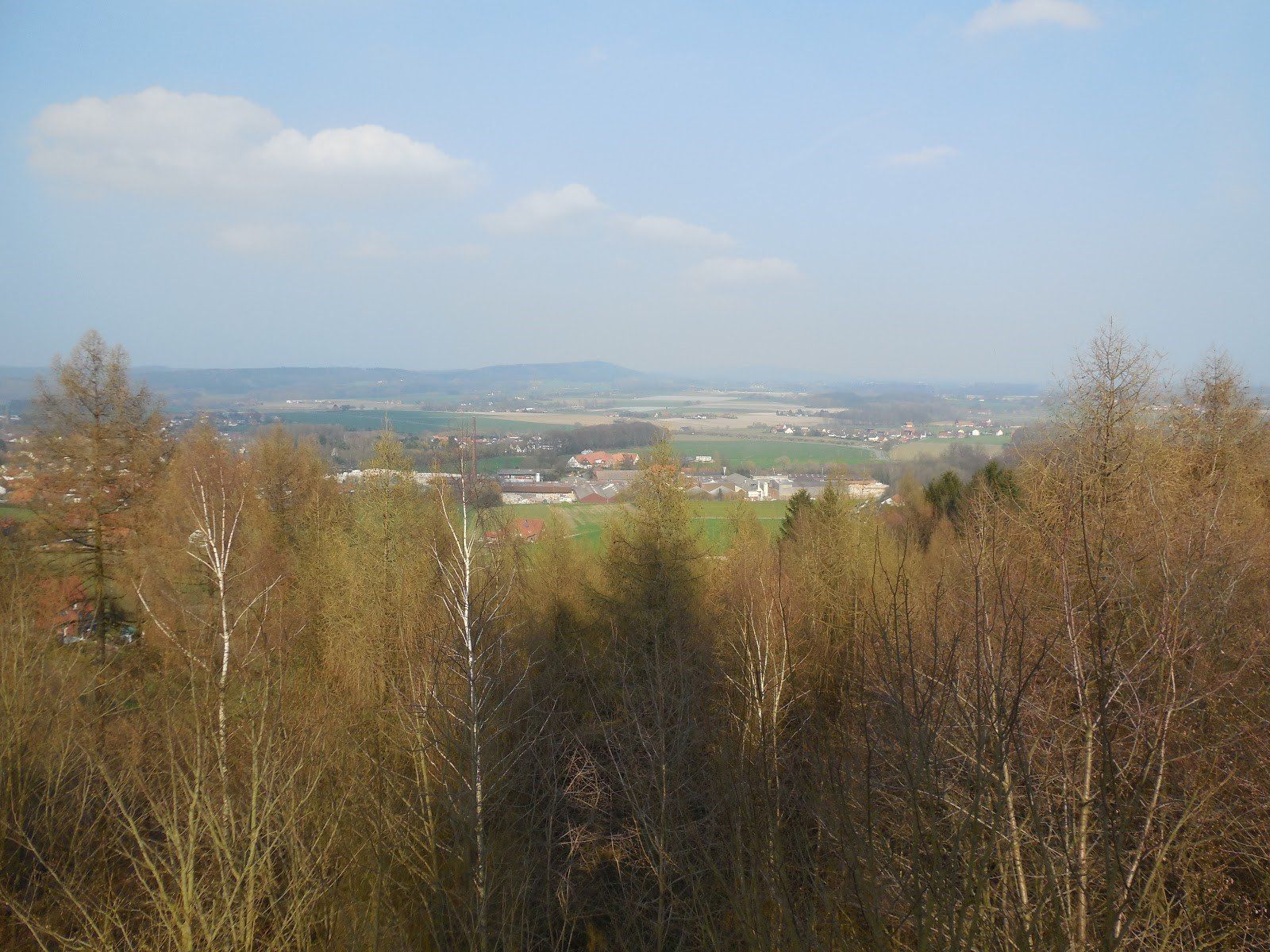
Topography of Wehringdorf
The land is flat which made it a good site for early farmers. Nearby are trees and forest which gave the people the wood for fuel and lumber. A problem that came from the early distribution of the land is that each person received “good” farming land, “mediocre” farm land and forest land. While good in theory and maybe appropriate for early agriculture, the result was that a farmer had several small fields that might be separated from each other. Farming, as a result, was not very efficient. In recent years land has been consolidated to make larger fields that then use modern equipment. Seen near Wehringdorf was a John Deer dealership that had machines that would be used on farms in the American Midwest. (figure 7) (figure 8) (figure 9)
Photos and Graphics for Wehringdorf, Germany

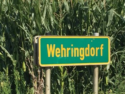
figure 1
Welcome to Wehrningdorf

figure 2
Cincinnati OH to Wehringdorf, Germany
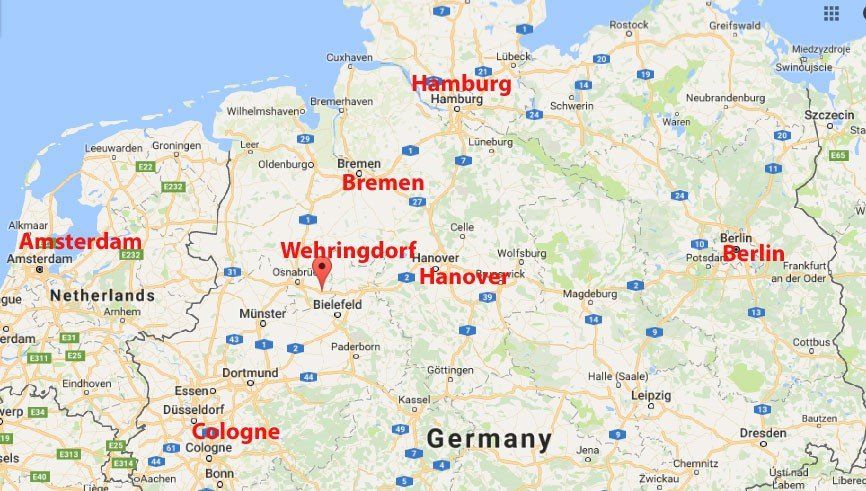
figure 3
Wehringdorf political designation
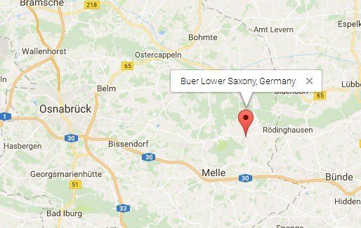
figure 4
Buer, Lower Saxony, Germany